Trek Route Maps
 Ek Shabda · One Word
 Amar Vani · Eternal Voice
 Boli · Voices of Home
 Naksha · Maps
Naksha: Six Maps of Nepal and the Data Behind Each One

On this page
Naksha (नक्सा) is the Nepali word for map. It is also the name of our collection of Nepal maps: six designs, out on 29 October 2026.
Each print has a Nepali title, its meaning in English, and one line about the data it shows. Here is what each one shows, and where the data comes from.
Nepal (नेपाल)
A topographic map of the whole country. A contour line marks every 250 metres of height, from the plains in the south up to 8,848.86 metres at the top of Everest. Inside its 2020 border, Nepal covers 147,516 square kilometres.
Data: height from NASA SRTM; the 2020 border from the Government of Nepal, through Open Data Nepal (CC BY 4.0).
Nepal map print in Ink, Paper or Terracotta
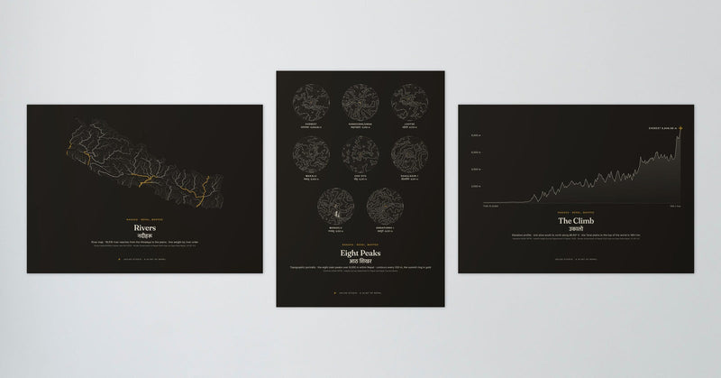
Rivers (नदीहरू, rivers)
18,516 stretches of river, from the Himalaya down to the plains. The bigger the river, the thicker its line.
Data: HydroRIVERS (Lehner and Grill, 2013).
Nepal rivers map print in Ink or Paper
The Climb (उकालो, a climb)
One slice of Nepal from south to north, along 86.93° east. In 165.1 kilometres the line rises from the Terai plains to the top of the world, at 8,848.86 metres.
Data: height from NASA SRTM; summit height from the Survey Department of Nepal, 2020.
The Climb print in Ink or Paper
Eight Peaks (आठ शिखर, eight peaks)
Portraits of the eight main peaks over 8,000 metres in Nepal. A height line every 200 metres, and a gold ring at each top.
Data: height from NASA SRTM; peak heights from the Survey Department of Nepal and the Nepal Tourism Board.
Eight Peaks print in Ink or Paper
Terai, Pahad, Himal (तराई · पहाड · हिमाल: plains, hills, high mountains)
Nepal drawn by height, in three parts. The Terai, the plains under 610 metres, is 24.9% of the land. The Pahad, the hills from 610 to 4,877 metres, is 64.2%. The Himal, the high mountains above 4,877 metres, is 10.9%.
Data: height from NASA SRTM.
Terai, Pahad, Himal print in Ink or Paper
Nepal at Night (रातको नेपाल, Nepal at night)
Night lights seen from space. Each of the 10,588 dots is a lit patch about 500 metres across. The brighter the patch, the bigger and warmer its dot.
Data: NASA Earth Observatory, Suomi NPP VIIRS, 2016.
How the prints are made
Every print is made to order and printed in Europe. Each design comes as a poster, a wood-framed print or a canvas, in 30 x 40, 50 x 70 or 70 x 100 cm. Nepal at Night and the Ink and Terracotta colourways have black wood frames; the Paper colourways have natural wood. Prices and delivery times are on each product page.
These maps are made to hang on a wall. They are not for finding your way on a trek.
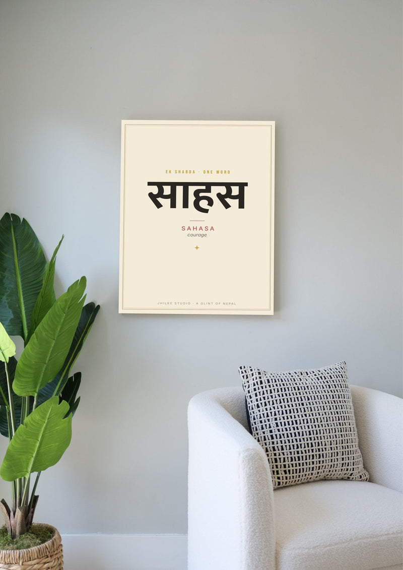
See all six maps. If you like Nepali words, our Ek Shabda prints set one word large. Looking for a present? Read our gift guide for hikers.
Prints in this post